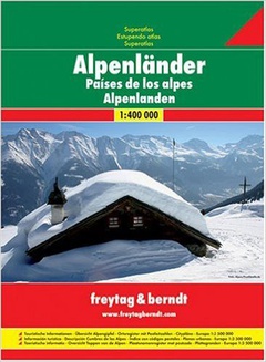
Autoatlas Alpské země 1:400 000 (2006)
Vydavateľstvo: Freytag & Berndt
| Bežná cena knihy: | 17,90 € |
|---|---|
| Naša cena: | 17,01 € |
| (zľava 5 %) |
Vypredané
Informácie o knihe
The alpine countries of Europe are at your fingertips with this Freytag & Berndt Superatlas. It will meet your road and tourist needs as you tackle the stunning scenery to be found in this area. Many features can be found inside this soft cover spiral bound book.
A map shows you the summits of the Alps, along with speed limits, emergency numbers and flags for several European nations.
The road atlas itself is over 127 pages. It covers the entire of the Czech Republic, Austria, Switzerland, Slovenia, Slovakia, Hungary and some regions of France, Italy, Croatia, Serbia, Ukraine, Germany and Poland. This is all at 1:400 000 scale. As with most Freytag and Berndt products, the maps make use of an icon and marking system, which shows tourist information like:
Various roads, railway lines and ferries Buildings, antique sites, camping sites, and hotels Airports, marinas, places of particular interest, national parks and military reservations Various water features
City plans are included at 1:15 000 scale. Again an icon and marking system will help you travel independently. Information shown includes public buildings, pedestrian areas, sports fields, public transport, police stations and post offices.
Also handy is the road map of Europe at 1:3 500 000 scale found towards the back of the book.
Zaradené v
Podrobnosti
- Počet strán: 272
- Formát: 245 × 295 mm
- Váha: 900 g
- Väzba: špirálová
- ISBN: 978-3-07-90746-9
- Rok vydania: 2006
- Jazyk: nemecký
- EAN: 9783707907469


